Boundary hedge
Introduction
The photograph on this page of Boundary hedge by Jonathan Thacker as part of the Geograph project.
The Geograph project started in 2005 with the aim of publishing, organising and preserving representative images for every square kilometre of Great Britain, Ireland and the Isle of Man.

There are currently over 7.5m images from over 14,400 individuals and you can help contribute to the project by visiting https://www.geograph.org.uk
Boundary hedge
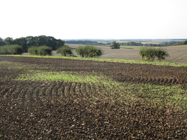
Image: © Jonathan Thacker Taken: 30 Aug 2016
The hedge crossing the picture marks the boundary between the parihses of Binbrook (this side) and Swinhope. It is also the boundary between East Lindsey (this side) and West Lindsey Districts.
Images are licensed for reuse under creativecommons.org/licenses/by-sa/2.0
Image Location


Leaflet Map data © OpenStreetMap
Latitude
53.43655
Longitude
-0.156521