Delamere Forest
Introduction
The photograph on this page of Delamere Forest by Jeff Buck as part of the Geograph project.
The Geograph project started in 2005 with the aim of publishing, organising and preserving representative images for every square kilometre of Great Britain, Ireland and the Isle of Man.

There are currently over 7.5m images from over 14,400 individuals and you can help contribute to the project by visiting https://www.geograph.org.uk
Delamere Forest
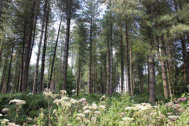
Image: © Jeff Buck Taken: 15 Aug 2016
Part of the northern section of Delamere Forest. Delamere, which means "forest of the lakes", is all that remains of the great forests of Mara and Mondrem which covered over 60 square miles (160 km2) of this part of Cheshire. Established in the late 11th century, they were the hunting forests of the Norman Earls of Chester. Today the woodland, which is managed by the Forestry Commission, covers an area of 972 hectares (2,400 acres) making it the largest area of woodland in the county. It contains a mixture of deciduous and evergreen trees. Source: Wikipedia Wikipedia https://en.wikipedia.org/wiki/Delamere_Forest
Images are licensed for reuse under creativecommons.org/licenses/by-sa/2.0
Image Location
Latitude
53.24826
Longitude
-2.701333