Floodplain of River Trent near Tittensor
Introduction
The photograph on this page of Floodplain of River Trent near Tittensor by Gill Stott as part of the Geograph project.
The Geograph project started in 2005 with the aim of publishing, organising and preserving representative images for every square kilometre of Great Britain, Ireland and the Isle of Man.

There are currently over 7.5m images from over 14,400 individuals and you can help contribute to the project by visiting https://www.geograph.org.uk
Floodplain of River Trent near Tittensor
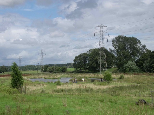
Image: © Gill Stott Taken: 27 Jul 2007
This pond, on the flood plain of the R.Trent is not marked on the OS map (1:25,000) and is probably newly created for amenity fishing. The pond marked on the map is about 100m to the west.
Images are licensed for reuse under creativecommons.org/licenses/by-sa/2.0
Image Location


Leaflet Map data © OpenStreetMap
Latitude
52.938709
Longitude
-2.186099