Tipperty village street
Introduction
The photograph on this page of Tipperty village street by Bill Harrison as part of the Geograph project.
The Geograph project started in 2005 with the aim of publishing, organising and preserving representative images for every square kilometre of Great Britain, Ireland and the Isle of Man.

There are currently over 7.5m images from over 14,400 individuals and you can help contribute to the project by visiting https://www.geograph.org.uk
Tipperty village street
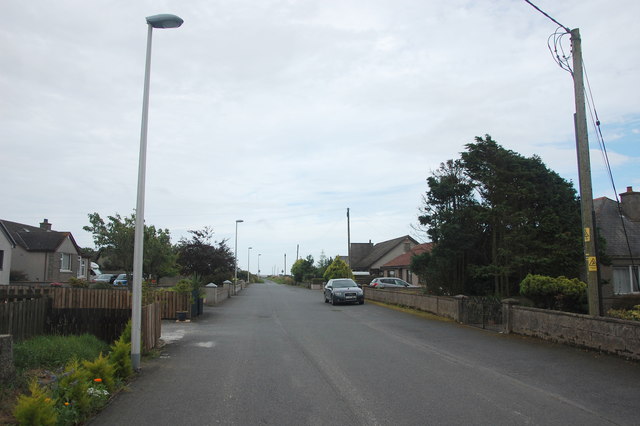
Image: © Bill Harrison Taken: 27 Aug 2016
The main and only street in the ribbon-development village of dour pebbledash bungalows. Note the lack of pavements.
Images are licensed for reuse under creativecommons.org/licenses/by-sa/2.0
Image Location
Latitude
57.336127
Longitude
-2.049651