Buildings by the Dart, Totnes
Introduction
The photograph on this page of Buildings by the Dart, Totnes by Derek Harper as part of the Geograph project.
The Geograph project started in 2005 with the aim of publishing, organising and preserving representative images for every square kilometre of Great Britain, Ireland and the Isle of Man.

There are currently over 7.5m images from over 14,400 individuals and you can help contribute to the project by visiting https://www.geograph.org.uk
Buildings by the Dart, Totnes
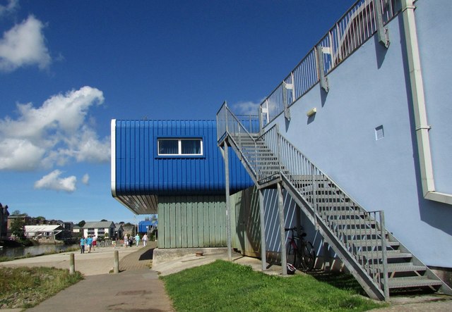
Image: © Derek Harper Taken: 26 Aug 2016
The bright blue of Seymour Wharf juts out over the riverside path, Totnes Footpath 1. On the immediate right is the Dart Totnes Amateur Rowing Club Image
Images are licensed for reuse under creativecommons.org/licenses/by-sa/2.0
Image Location


Leaflet Map data © OpenStreetMap
Latitude
50.425125
Longitude
-3.678737