St Denys Play Area, Southampton
Introduction
The photograph on this page of St Denys Play Area, Southampton by Jaggery as part of the Geograph project.
The Geograph project started in 2005 with the aim of publishing, organising and preserving representative images for every square kilometre of Great Britain, Ireland and the Isle of Man.

There are currently over 7.5m images from over 14,400 individuals and you can help contribute to the project by visiting https://www.geograph.org.uk
St Denys Play Area, Southampton
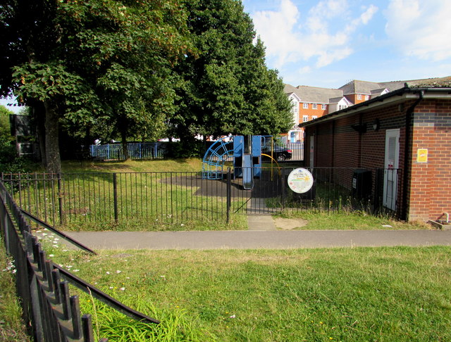
Image: © Jaggery Taken: 24 Aug 2016
At the edge of St Denys Community Centre, set back from Priory Road near the corner of Adelaide Road.
Images are licensed for reuse under creativecommons.org/licenses/by-sa/2.0
Image Location
Latitude
50.920347
Longitude
-1.388352