Reynolds Park Lodge
Introduction
The photograph on this page of Reynolds Park Lodge by Sue Adair as part of the Geograph project.
The Geograph project started in 2005 with the aim of publishing, organising and preserving representative images for every square kilometre of Great Britain, Ireland and the Isle of Man.

There are currently over 7.5m images from over 14,400 individuals and you can help contribute to the project by visiting https://www.geograph.org.uk
Reynolds Park Lodge
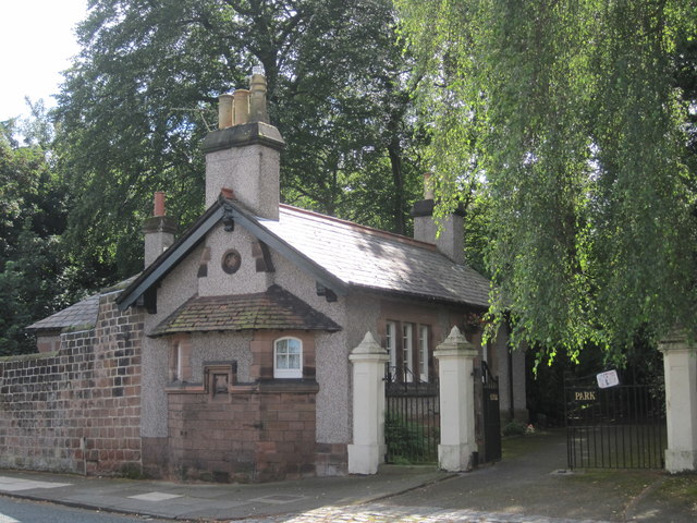
Image: © Sue Adair Taken: 26 Aug 2016
Originally the entrance lodge to the early 19th century Dennison's House which was situated adjacent to the deep stone quarry on Woolton Hill Road. Although the house was demolished in 1886 the driveway to the house continued to be known as 'Denison's Road' and lead to Dove Park, later to be renamed Reynold's Park http://www.geograph.org.uk/photo/386418.
Images are licensed for reuse under creativecommons.org/licenses/by-sa/2.0
Image Location
Latitude
53.382322
Longitude
-2.872817