Knights Templar pub, Bristol
Introduction
The photograph on this page of Knights Templar pub, Bristol by Jaggery as part of the Geograph project.
The Geograph project started in 2005 with the aim of publishing, organising and preserving representative images for every square kilometre of Great Britain, Ireland and the Isle of Man.

There are currently over 7.5m images from over 14,400 individuals and you can help contribute to the project by visiting https://www.geograph.org.uk
Knights Templar pub, Bristol
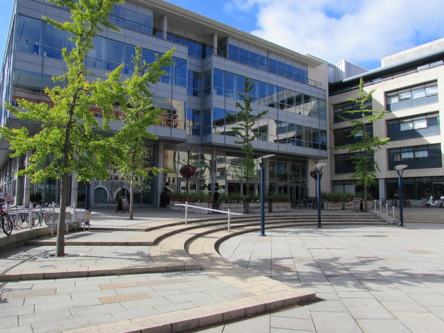
Image: © Jaggery Taken: 26 Aug 2016
Knights Templar is a large Wetherspoon's pub in a modern building at 1 The Square. Temple Quay House http://www.geograph.org.uk/photo/5091914 is on the right. The J D Wetherspoon website records that the nearby Leaning Tower of Bristol http://www.geograph.org.uk/photo/896026 is a curious landmark, a non-vertical tower which is all that remains of Temple Church built in the 1390s (and blitzed in World War II) which had replaced the original church on the site built by the Knights Templar. This one-time order of warrior monks had been granted land here (Temple Fee) by Robert, Earl of Gloucester (illegitimate son of King Henry I). It included Temple Meads (or meadows), now the site of Bristol's main railway station and the adjacent Quay Point development, in which this pub is located in Temple Square.
Images are licensed for reuse under creativecommons.org/licenses/by-sa/2.0
Image Location
Latitude
51.450756
Longitude
-2.582199