The crossroads at Broad Oak
Introduction
The photograph on this page of The crossroads at Broad Oak by John Baker as part of the Geograph project.
The Geograph project started in 2005 with the aim of publishing, organising and preserving representative images for every square kilometre of Great Britain, Ireland and the Isle of Man.

There are currently over 7.5m images from over 14,400 individuals and you can help contribute to the project by visiting https://www.geograph.org.uk
The crossroads at Broad Oak
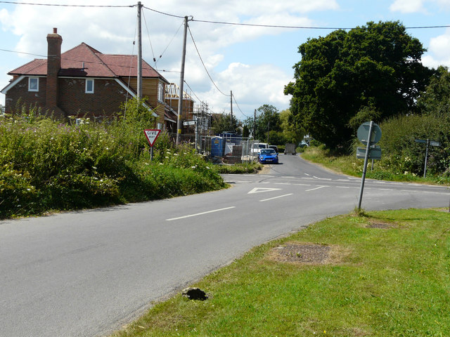
Image: © John Baker Taken: 31 Jul 2016
Compared with Image but viewed from the other direction, the nearer of the two detached chalet bungalows, mentioned in Ashford Borough Council’s planning application 15/01156/AS, as the “erection of two detached chalet bungalows (lapsed planning permission 11/00707AS) and creation of new access”, looks to be almost finished.
Images are licensed for reuse under creativecommons.org/licenses/by-sa/2.0
Image Location
Latitude
51.105235
Longitude
0.917211