Bentons Lane
Introduction
The photograph on this page of Bentons Lane by Simon Carey as part of the Geograph project.
The Geograph project started in 2005 with the aim of publishing, organising and preserving representative images for every square kilometre of Great Britain, Ireland and the Isle of Man.

There are currently over 7.5m images from over 14,400 individuals and you can help contribute to the project by visiting https://www.geograph.org.uk
Bentons Lane
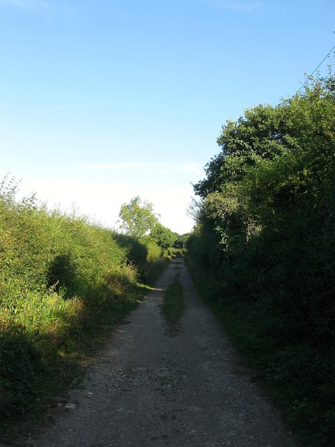
Image: © Simon Carey Taken: 26 Aug 2016
Little more than a track at this point providing access to Image though it continues beyond to Bentons Place. To the north is Image whilst to the south is Image West Grinstead's 1841 tithe survey called this section Wicket Wood Lane.
Images are licensed for reuse under creativecommons.org/licenses/by-sa/2.0
Image Location


Leaflet Map data © OpenStreetMap
Latitude
50.963181
Longitude
-0.369908