Luppitt: east from Greenway Farm
Introduction
The photograph on this page of Luppitt: east from Greenway Farm by Martin Bodman as part of the Geograph project.
The Geograph project started in 2005 with the aim of publishing, organising and preserving representative images for every square kilometre of Great Britain, Ireland and the Isle of Man.

There are currently over 7.5m images from over 14,400 individuals and you can help contribute to the project by visiting https://www.geograph.org.uk
Luppitt: east from Greenway Farm
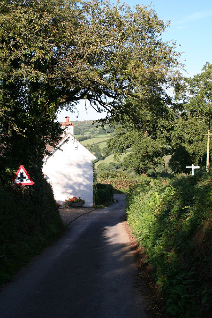
Image: © Martin Bodman Taken: 7 Sep 2005
Near the cross roads where a left turn finds a narrow lane to Luppitt village; straight on for Luppitt Mill and right for Shelvin
Images are licensed for reuse under creativecommons.org/licenses/by-sa/2.0
Image Location


Leaflet Map data © OpenStreetMap
Latitude
50.841179
Longitude
-3.187281