The Old Ball Public House, Horsforth
Introduction
The photograph on this page of The Old Ball Public House, Horsforth by Mark Anderson as part of the Geograph project.
The Geograph project started in 2005 with the aim of publishing, organising and preserving representative images for every square kilometre of Great Britain, Ireland and the Isle of Man.

There are currently over 7.5m images from over 14,400 individuals and you can help contribute to the project by visiting https://www.geograph.org.uk
The Old Ball Public House, Horsforth
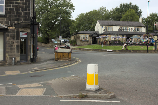
Image: © Mark Anderson Taken: 27 Aug 2016
There is a cut bench mark on the corner of 107 Long Row to the left of the photograph and a closer view can be seen here: Image
Images are licensed for reuse under creativecommons.org/licenses/by-sa/2.0
Image Location
Latitude
53.846145
Longitude
-1.634878