Approaching Ebear Bridge from Westleigh
Introduction
The photograph on this page of Approaching Ebear Bridge from Westleigh by David Smith as part of the Geograph project.
The Geograph project started in 2005 with the aim of publishing, organising and preserving representative images for every square kilometre of Great Britain, Ireland and the Isle of Man.

There are currently over 7.5m images from over 14,400 individuals and you can help contribute to the project by visiting https://www.geograph.org.uk
Approaching Ebear Bridge from Westleigh
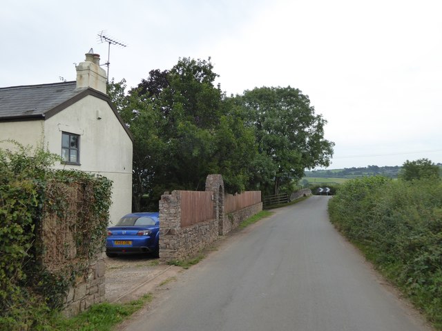
Image: © David Smith Taken: 24 Aug 2016
The road crosses the Grand Western Canal and then turns a sharp right to run beside the water
Images are licensed for reuse under creativecommons.org/licenses/by-sa/2.0
Image Location
Latitude
50.938823
Longitude
-3.338499