Copcut Rise taking shape
Introduction
The photograph on this page of Copcut Rise taking shape by Jeff Gogarty as part of the Geograph project.
The Geograph project started in 2005 with the aim of publishing, organising and preserving representative images for every square kilometre of Great Britain, Ireland and the Isle of Man.

There are currently over 7.5m images from over 14,400 individuals and you can help contribute to the project by visiting https://www.geograph.org.uk
Copcut Rise taking shape
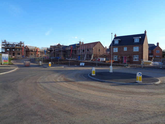
Image: © Jeff Gogarty Taken: 26 Aug 2016
I cannot guarantee the exact location at the moment but it is this area. The roads are in place so the development will progress rapidly now. Image shows the first stage.
Images are licensed for reuse under creativecommons.org/licenses/by-sa/2.0
Image Location
Latitude
52.251917
Longitude
-2.166655