Upper Dane Valley
Introduction
The photograph on this page of Upper Dane Valley by Peter Turner as part of the Geograph project.
The Geograph project started in 2005 with the aim of publishing, organising and preserving representative images for every square kilometre of Great Britain, Ireland and the Isle of Man.

There are currently over 7.5m images from over 14,400 individuals and you can help contribute to the project by visiting https://www.geograph.org.uk
Upper Dane Valley
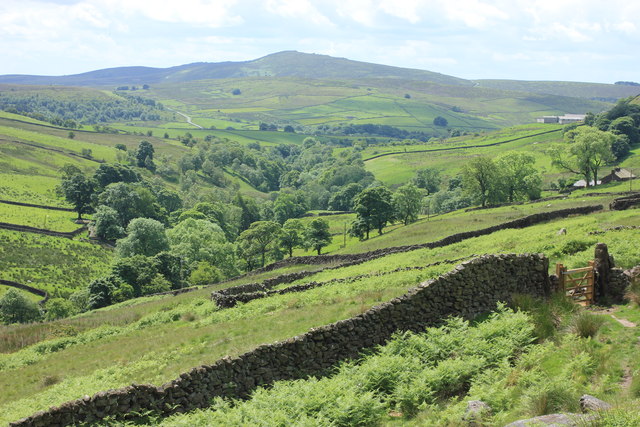
Image: © Peter Turner Taken: 27 Jun 2015
The gate is the start of the footpath to Knar. The far horizon is the back of the Roaches ridge.
Images are licensed for reuse under creativecommons.org/licenses/by-sa/2.0
Image Location
Latitude
53.209874
Longitude
-1.992174