Bole village sign
Introduction
The photograph on this page of Bole village sign by Graham Hogg as part of the Geograph project.
The Geograph project started in 2005 with the aim of publishing, organising and preserving representative images for every square kilometre of Great Britain, Ireland and the Isle of Man.

There are currently over 7.5m images from over 14,400 individuals and you can help contribute to the project by visiting https://www.geograph.org.uk
Bole village sign
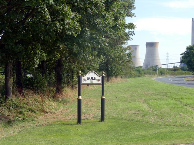
Image: © Graham Hogg Taken: 23 Aug 2016
With the cooling towers of West Burton Power Station beyond
Images are licensed for reuse under creativecommons.org/licenses/by-sa/2.0
Image Location


Leaflet Map data © OpenStreetMap
Latitude
53.376256
Longitude
-0.81862