Ro Wen, Fairbourne
Introduction
The photograph on this page of Ro Wen, Fairbourne by John Lucas as part of the Geograph project.
The Geograph project started in 2005 with the aim of publishing, organising and preserving representative images for every square kilometre of Great Britain, Ireland and the Isle of Man.

There are currently over 7.5m images from over 14,400 individuals and you can help contribute to the project by visiting https://www.geograph.org.uk
Ro Wen, Fairbourne
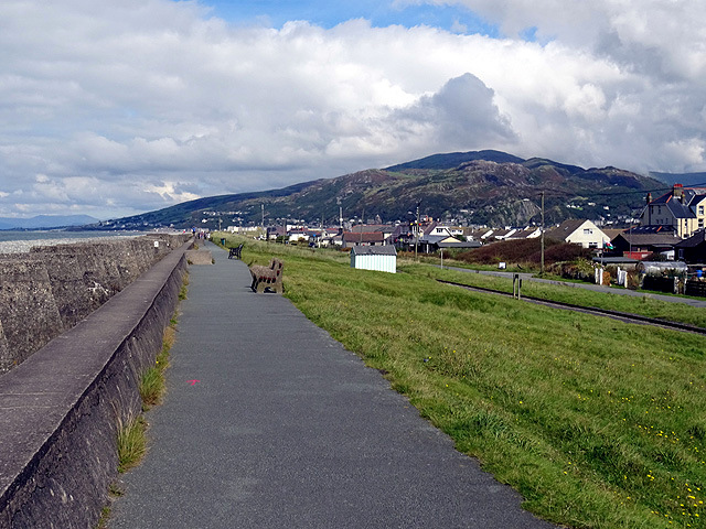
Image: © John Lucas Taken: 24 Aug 2016
Forms part of the Wales Coast Path. A long row of wartime defence 'dragons' teeth' on the seaward side. The southern Rhinogs above Barmouth in the middle distance.
Images are licensed for reuse under creativecommons.org/licenses/by-sa/2.0
Image Location
Latitude
52.698245
Longitude
-4.057065