Gladeside, near Shirley
Introduction
The photograph on this page of Gladeside, near Shirley by Malc McDonald as part of the Geograph project.
The Geograph project started in 2005 with the aim of publishing, organising and preserving representative images for every square kilometre of Great Britain, Ireland and the Isle of Man.

There are currently over 7.5m images from over 14,400 individuals and you can help contribute to the project by visiting https://www.geograph.org.uk
Gladeside, near Shirley
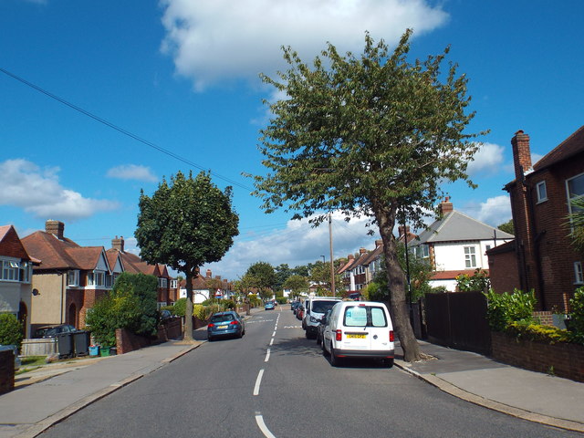
Image: © Malc McDonald Taken: 21 Aug 2016
Gladeside passes through a residential area in South London's outer suburbs. It forms part of National Cycle Network route 21
Images are licensed for reuse under creativecommons.org/licenses/by-sa/2.0
Image Location
Latitude
51.385009
Longitude
-0.050575