Strathclyde Road
Introduction
The photograph on this page of Strathclyde Road by Richard Sutcliffe as part of the Geograph project.
The Geograph project started in 2005 with the aim of publishing, organising and preserving representative images for every square kilometre of Great Britain, Ireland and the Isle of Man.

There are currently over 7.5m images from over 14,400 individuals and you can help contribute to the project by visiting https://www.geograph.org.uk
Strathclyde Road
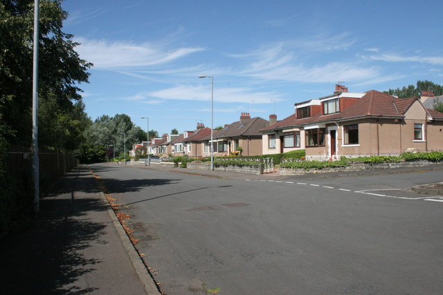
Image: © Richard Sutcliffe Taken: 24 Aug 2016
Just to the north of Clyde Park (which is beyond the trees on the left). The road to the right is Haughview Road. When built there probably was a view over the haugh - the low-lying meadows beside the River Clyde which formed Hamilton Low Parks. The creation of Strathclyde Loch and the diversion of the River Clyde in the 1970s completely changed the view from here.
Images are licensed for reuse under creativecommons.org/licenses/by-sa/2.0
Image Location
Latitude
55.787068
Longitude
-4.014888