Vicarage Road near Woodside Farm
Introduction
The photograph on this page of Vicarage Road near Woodside Farm by Richard Law as part of the Geograph project.
The Geograph project started in 2005 with the aim of publishing, organising and preserving representative images for every square kilometre of Great Britain, Ireland and the Isle of Man.

There are currently over 7.5m images from over 14,400 individuals and you can help contribute to the project by visiting https://www.geograph.org.uk
Vicarage Road near Woodside Farm
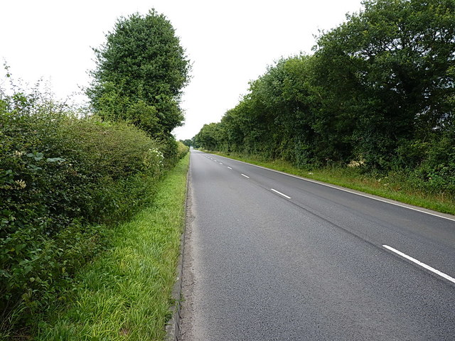
Image: © Richard Law Taken: 21 Jul 2016
Dead straight, this piece of road runs between Gailey reservoirs and the junction at Four Ashes on the A449.
Images are licensed for reuse under creativecommons.org/licenses/by-sa/2.0
Image Location
Latitude
52.678017
Longitude
-2.112957