BMX at Bretons
Introduction
The photograph on this page of BMX at Bretons by Glyn Baker as part of the Geograph project.
The Geograph project started in 2005 with the aim of publishing, organising and preserving representative images for every square kilometre of Great Britain, Ireland and the Isle of Man.

There are currently over 7.5m images from over 14,400 individuals and you can help contribute to the project by visiting https://www.geograph.org.uk
BMX at Bretons
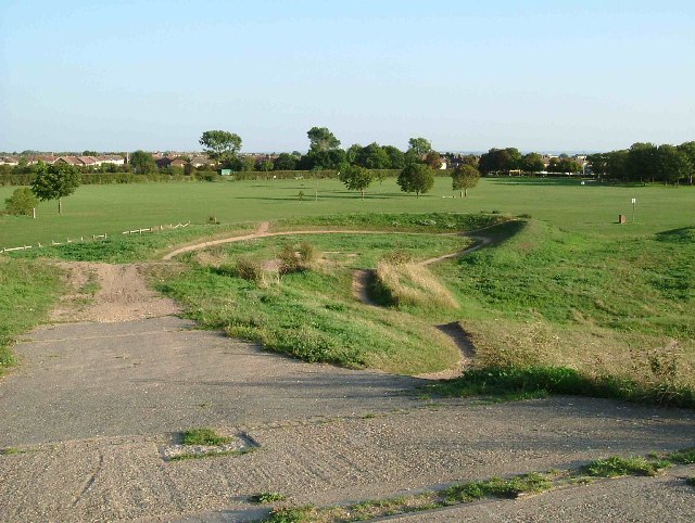
Image: © Glyn Baker Taken: 7 Sep 2005
This is a BMX cycle track on the Bretons Outdoor Activity Centre. It was a Community Programme Project by Havering Council and was completed in 1985
Images are licensed for reuse under creativecommons.org/licenses/by-sa/2.0
Image Location
Latitude
51.544438
Longitude
0.184825