Former foundry - Dorchester
Introduction
The photograph on this page of Former foundry - Dorchester by Chris Allen as part of the Geograph project.
The Geograph project started in 2005 with the aim of publishing, organising and preserving representative images for every square kilometre of Great Britain, Ireland and the Isle of Man.

There are currently over 7.5m images from over 14,400 individuals and you can help contribute to the project by visiting https://www.geograph.org.uk
Former foundry - Dorchester
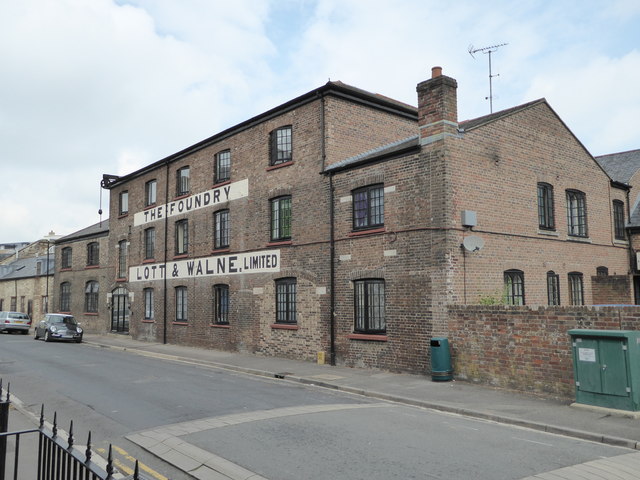
Image: © Chris Allen Taken: 18 Aug 2016
The former premises of Lott & Walne at Fordington High street were vacated in early 1988. The main building is thought to date from the first half of the 19th century and has a crane at the far end. The company were agricultural engineers and also acted as agents for other companies. Although now converted, the building has retained an 'industrial' feel.
Images are licensed for reuse under creativecommons.org/licenses/by-sa/2.0
Image Location


Leaflet Map data © OpenStreetMap
Latitude
50.715577
Longitude
-2.432103