The River Torridge at Broomdown Copse
Introduction
The photograph on this page of The River Torridge at Broomdown Copse by Roger A Smith as part of the Geograph project.
The Geograph project started in 2005 with the aim of publishing, organising and preserving representative images for every square kilometre of Great Britain, Ireland and the Isle of Man.

There are currently over 7.5m images from over 14,400 individuals and you can help contribute to the project by visiting https://www.geograph.org.uk
The River Torridge at Broomdown Copse
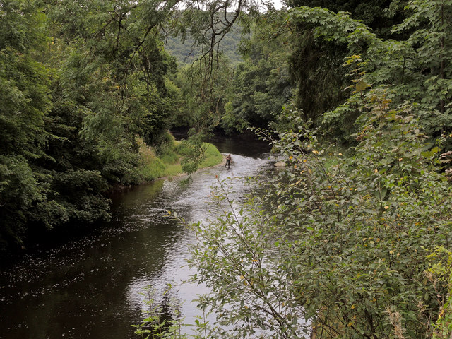
Image: © Roger A Smith Taken: 24 Aug 2016
At this point the river has looped in a north easterly direction and has returned to its previous north westerly direction for a short distance. Beam House is off to the left of the image, the A386 to the right.
Images are licensed for reuse under creativecommons.org/licenses/by-sa/2.0
Image Location
Latitude
50.963248
Longitude
-4.176169