Redbridge Lane East
Introduction
The photograph on this page of Redbridge Lane East by Marathon as part of the Geograph project.
The Geograph project started in 2005 with the aim of publishing, organising and preserving representative images for every square kilometre of Great Britain, Ireland and the Isle of Man.

There are currently over 7.5m images from over 14,400 individuals and you can help contribute to the project by visiting https://www.geograph.org.uk
Redbridge Lane East
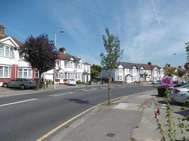
Image: © Marathon Taken: 24 Aug 2016
The junction with Edwina Gardens is just ahead. Going back along Redbridge Lane East behind brings you to Redbridge Underground station.
Images are licensed for reuse under creativecommons.org/licenses/by-sa/2.0
Image Location
Latitude
51.577546
Longitude
0.049445