Oswestry FBM
Introduction
The photograph on this page of Oswestry FBM by Richard Law as part of the Geograph project.
The Geograph project started in 2005 with the aim of publishing, organising and preserving representative images for every square kilometre of Great Britain, Ireland and the Isle of Man.

There are currently over 7.5m images from over 14,400 individuals and you can help contribute to the project by visiting https://www.geograph.org.uk
Oswestry FBM
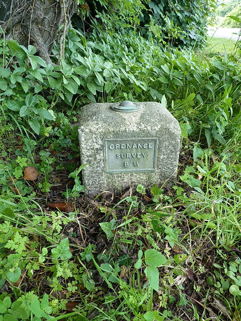
Image: © Richard Law Taken: 19 Jul 2016
This rectangular block comprises the visible part of the Oswestry Fundamental Benchmark. In effect, it is the protective cap to a chamber excavated below ground level, containing a bolt affixed to a piece of 'immovable' bedrock, and it is that bolt to which the stated height of 352.831 feet (107.5429m) above sea level actually refers.
Images are licensed for reuse under creativecommons.org/licenses/by-sa/2.0
Image Location
Latitude
52.810691
Longitude
-3.078432