Lower Marsh camel
Introduction
The photograph on this page of Lower Marsh camel by Robert Eva as part of the Geograph project.
The Geograph project started in 2005 with the aim of publishing, organising and preserving representative images for every square kilometre of Great Britain, Ireland and the Isle of Man.

There are currently over 7.5m images from over 14,400 individuals and you can help contribute to the project by visiting https://www.geograph.org.uk
Lower Marsh camel
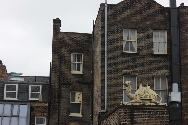
Image: © Robert Eva Taken: 2 Jun 2016
This is at the back of Lower Marsh, visible from the approach road to Waterloo station. Presumably at the back of the pub called the Elusive Camel.
Images are licensed for reuse under creativecommons.org/licenses/by-sa/2.0
Image Location
Latitude
51.501214
Longitude
-0.112186