Field near Hill Barn Farm
Introduction
The photograph on this page of Field near Hill Barn Farm by Derek Harper as part of the Geograph project.
The Geograph project started in 2005 with the aim of publishing, organising and preserving representative images for every square kilometre of Great Britain, Ireland and the Isle of Man.

There are currently over 7.5m images from over 14,400 individuals and you can help contribute to the project by visiting https://www.geograph.org.uk
Field near Hill Barn Farm
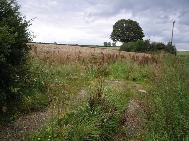
Image: © Derek Harper Taken: 28 Jul 2007
Taken from the lane between Winsham and the A30 on St Rayn Hill, looking along the line of a field boundary, with scattered hedgerow trees on chalk upland.
Images are licensed for reuse under creativecommons.org/licenses/by-sa/2.0
Image Location
Latitude
50.866336
Longitude
-2.862217