Infirmary Road
Introduction
The photograph on this page of Infirmary Road by Ian Capper as part of the Geograph project.
The Geograph project started in 2005 with the aim of publishing, organising and preserving representative images for every square kilometre of Great Britain, Ireland and the Isle of Man.

There are currently over 7.5m images from over 14,400 individuals and you can help contribute to the project by visiting https://www.geograph.org.uk
Infirmary Road
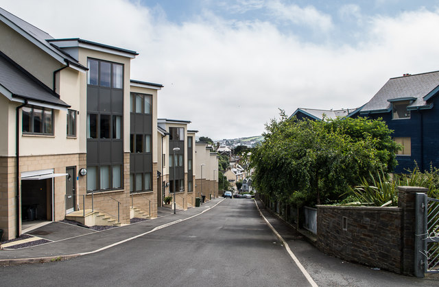
Image: © Ian Capper Taken: 8 Jul 2016
New developments on Infirmary Road, on the site of what until the development of the current Bronglais General Hospital, on the site of the former workhouse, was the local infirmary, later to become the Cardiganshire General Hospital.
Images are licensed for reuse under creativecommons.org/licenses/by-sa/2.0
Image Location


Leaflet Map data © OpenStreetMap
Latitude
52.417138
Longitude
-4.078245