View towards Lound
Introduction
The photograph on this page of View towards Lound by Jonathan Thacker as part of the Geograph project.
The Geograph project started in 2005 with the aim of publishing, organising and preserving representative images for every square kilometre of Great Britain, Ireland and the Isle of Man.

There are currently over 7.5m images from over 14,400 individuals and you can help contribute to the project by visiting https://www.geograph.org.uk
View towards Lound
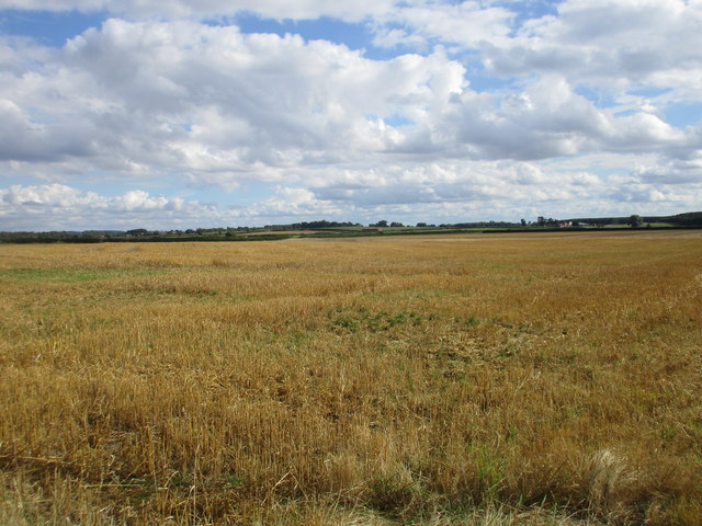
Image: © Jonathan Thacker Taken: 21 Aug 2016
The slightly raised ground to the immediate west of Lound and beyond the River Idle can just be made out.
Images are licensed for reuse under creativecommons.org/licenses/by-sa/2.0
Image Location


Leaflet Map data © OpenStreetMap
Latitude
53.376399
Longitude
-0.969991