Campion Close
Introduction
The photograph on this page of Campion Close by John Baker as part of the Geograph project.
The Geograph project started in 2005 with the aim of publishing, organising and preserving representative images for every square kilometre of Great Britain, Ireland and the Isle of Man.

There are currently over 7.5m images from over 14,400 individuals and you can help contribute to the project by visiting https://www.geograph.org.uk
Campion Close
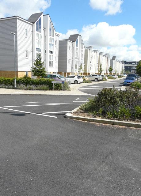
Image: © John Baker Taken: 24 Jul 2016
This view of Image shows the road before Pentland Homes had removed their site noticeboard and flags. I assume that Campion Close refers to this and all the other roads in this housing development.
Images are licensed for reuse under creativecommons.org/licenses/by-sa/2.0
Image Location
Latitude
51.159589
Longitude
0.857847