Shipwrights' Way 48
Introduction
The photograph on this page of Shipwrights' Way 48 by Shazz as part of the Geograph project.
The Geograph project started in 2005 with the aim of publishing, organising and preserving representative images for every square kilometre of Great Britain, Ireland and the Isle of Man.

There are currently over 7.5m images from over 14,400 individuals and you can help contribute to the project by visiting https://www.geograph.org.uk
Shipwrights' Way 48
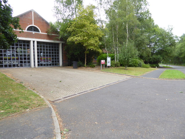
Image: © Shazz Taken: 21 Aug 2016
Here's looking back along Conde Way by Bordon Fire Station. See http://www.geograph.org.uk/photo/279899 for a 2006 picture of the Fire Station.
Images are licensed for reuse under creativecommons.org/licenses/by-sa/2.0
Image Location
Latitude
51.105556
Longitude
-0.856563