Cwmbach Road, Cadoxton
Introduction
The photograph on this page of Cwmbach Road, Cadoxton by Jaggery as part of the Geograph project.
The Geograph project started in 2005 with the aim of publishing, organising and preserving representative images for every square kilometre of Great Britain, Ireland and the Isle of Man.

There are currently over 7.5m images from over 14,400 individuals and you can help contribute to the project by visiting https://www.geograph.org.uk
Cwmbach Road, Cadoxton
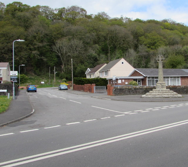
Image: © Jaggery Taken: 3 May 2016
The southern end of Cwmbach Road viewed across the A4230 in Cadoxton-juxta-Neath. Cadoxton War Memorial http://www.geograph.org.uk/photo/5083955 is on the right.
Images are licensed for reuse under creativecommons.org/licenses/by-sa/2.0
Image Location
Latitude
51.672691
Longitude
-3.80199