Tatsfield Lane, near Biggin Hill
Introduction
The photograph on this page of Tatsfield Lane, near Biggin Hill by Malc McDonald as part of the Geograph project.
The Geograph project started in 2005 with the aim of publishing, organising and preserving representative images for every square kilometre of Great Britain, Ireland and the Isle of Man.

There are currently over 7.5m images from over 14,400 individuals and you can help contribute to the project by visiting https://www.geograph.org.uk
Tatsfield Lane, near Biggin Hill
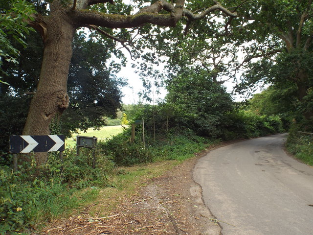
Image: © Malc McDonald Taken: 21 Aug 2016
Tatsfield Lane runs along the boundary between Kent and Greater London. The road itself is in Kent, but the land to the left of the road is in Greater London.
Images are licensed for reuse under creativecommons.org/licenses/by-sa/2.0
Image Location


Leaflet Map data © OpenStreetMap
Latitude
51.29389
Longitude
0.050701