Farmland near Dinnwell
Introduction
The photograph on this page of Farmland near Dinnwell by Derek Harper as part of the Geograph project.
The Geograph project started in 2005 with the aim of publishing, organising and preserving representative images for every square kilometre of Great Britain, Ireland and the Isle of Man.

There are currently over 7.5m images from over 14,400 individuals and you can help contribute to the project by visiting https://www.geograph.org.uk
Farmland near Dinnwell
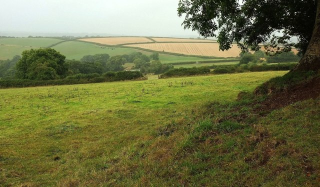
Image: © Derek Harper Taken: 21 Aug 2016
It's raining steadily here on the edge of the National Park. This is a view from the lane between Dinnwell and Livaton Cross.
Images are licensed for reuse under creativecommons.org/licenses/by-sa/2.0
Image Location
Latitude
50.723347
Longitude
-3.879509