'Tumulus' above cultivation terraces east of The Warrior Stone
Introduction
The photograph on this page of 'Tumulus' above cultivation terraces east of The Warrior Stone by Andrew Curtis as part of the Geograph project.
The Geograph project started in 2005 with the aim of publishing, organising and preserving representative images for every square kilometre of Great Britain, Ireland and the Isle of Man.

There are currently over 7.5m images from over 14,400 individuals and you can help contribute to the project by visiting https://www.geograph.org.uk
'Tumulus' above cultivation terraces east of The Warrior Stone
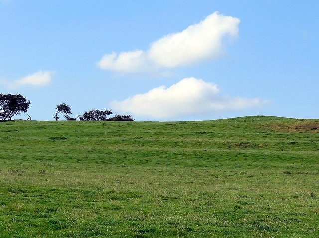
Image: © Andrew Curtis Taken: 18 Aug 2016
The remains of a round cairn of Bronze Age date stand on the edge of a scarp with fine views of the south and east. The cairn, built of earth and stones, is 16m wide. During the 19th century several Bronze Age objects were found in this area, including fragments of two shields and an axe. http://www.keystothepast.info/article/10339/Site-Details?PRN=N10301 The cultivation terraces on the south-facing slope are probably of medieval date.
Images are licensed for reuse under creativecommons.org/licenses/by-sa/2.0
Image Location
Latitude
55.066033
Longitude
-1.932015