Ripe wheat east of Glazeley
Introduction
The photograph on this page of Ripe wheat east of Glazeley by Richard Law as part of the Geograph project.
The Geograph project started in 2005 with the aim of publishing, organising and preserving representative images for every square kilometre of Great Britain, Ireland and the Isle of Man.

There are currently over 7.5m images from over 14,400 individuals and you can help contribute to the project by visiting https://www.geograph.org.uk
Ripe wheat east of Glazeley
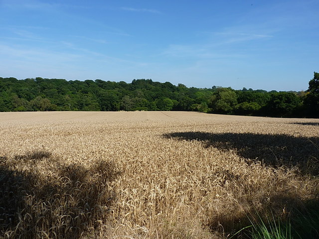
Image: © Richard Law Taken: 15 Aug 2016
Several days of good weather have brought the local wheat crop to a fine, ripe condition. This field overlooks the Borle Brook valley, with Mill Coppice on the far side.
Images are licensed for reuse under creativecommons.org/licenses/by-sa/2.0
Image Location
Latitude
52.491353
Longitude
-2.437081