Lane To Trefasser
Introduction
The photograph on this page of Lane To Trefasser by Deborah Tilley as part of the Geograph project.
The Geograph project started in 2005 with the aim of publishing, organising and preserving representative images for every square kilometre of Great Britain, Ireland and the Isle of Man.

There are currently over 7.5m images from over 14,400 individuals and you can help contribute to the project by visiting https://www.geograph.org.uk
Lane To Trefasser
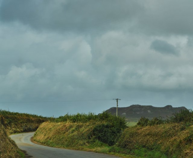
Image: © Deborah Tilley Taken: 19 Aug 2016
Trefasser is translated from Welsh into English as Asser's village/place. The Asser in question is reputed to be one of the Bishop's of St David's who allied closely with Alfred The Great much to the disdain of the local hierarchy, especially one Hyfaidd ap Bleddri, a local leader, reputed to be the 'scourge' of Asser. An interesting link ..... http://www.dyfedarchaeology.org.uk/HLC/pencaer/pencaer.htm
Images are licensed for reuse under creativecommons.org/licenses/by-sa/2.0
Image Location
Latitude
51.987243
Longitude
-5.070114