Burgess Park Bridge
Introduction
The photograph on this page of Burgess Park Bridge by Robert Eva as part of the Geograph project.
The Geograph project started in 2005 with the aim of publishing, organising and preserving representative images for every square kilometre of Great Britain, Ireland and the Isle of Man.

There are currently over 7.5m images from over 14,400 individuals and you can help contribute to the project by visiting https://www.geograph.org.uk
Burgess Park Bridge
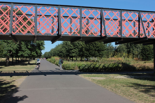
Image: © Robert Eva Taken: 15 Aug 2016
This is locally known as the "bridge to nowhere". It once spanned the Grand Surrey canal basin which was abandoned in the 1940s and filled in during the 1960s. Burgess Park now occupies the site of the old canal.
Images are licensed for reuse under creativecommons.org/licenses/by-sa/2.0
Image Location
Latitude
51.482275
Longitude
-0.081139