Footpath between Church Lane, Downswood and Green Hill
Introduction
The photograph on this page of Footpath between Church Lane, Downswood and Green Hill by Chris Heaton as part of the Geograph project.
The Geograph project started in 2005 with the aim of publishing, organising and preserving representative images for every square kilometre of Great Britain, Ireland and the Isle of Man.

There are currently over 7.5m images from over 14,400 individuals and you can help contribute to the project by visiting https://www.geograph.org.uk
Footpath between Church Lane, Downswood and Green Hill
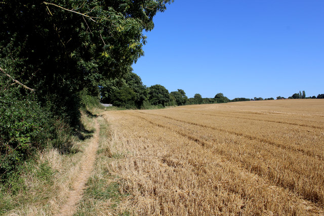
Image: © Chris Heaton Taken: 12 Aug 2016
The path follows the high hedge at field's boundary eastwards towards Green Hill
Images are licensed for reuse under creativecommons.org/licenses/by-sa/2.0
Image Location
Latitude
51.25793
Longitude
0.56537