New development, John Street, Renton
Introduction
The photograph on this page of New development, John Street, Renton by Lairich Rig as part of the Geograph project.
The Geograph project started in 2005 with the aim of publishing, organising and preserving representative images for every square kilometre of Great Britain, Ireland and the Isle of Man.

There are currently over 7.5m images from over 14,400 individuals and you can help contribute to the project by visiting https://www.geograph.org.uk
New development, John Street, Renton
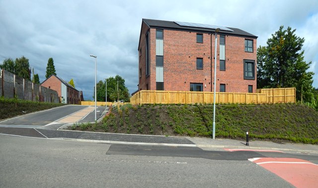
Image: © Lairich Rig Taken: 8 Aug 2016
The development is shown under construction in Image, and from a different angle in Image It straddles the OS grid line, so that, in each case, at least part of the development is in the same grid square as the photographer.
Images are licensed for reuse under creativecommons.org/licenses/by-sa/2.0
Image Location
Latitude
55.966937
Longitude
-4.581245