Direction signs, Quarterlands, Dundrod (August 2016)
Introduction
The photograph on this page of Direction signs, Quarterlands, Dundrod (August 2016) by Albert Bridge as part of the Geograph project.
The Geograph project started in 2005 with the aim of publishing, organising and preserving representative images for every square kilometre of Great Britain, Ireland and the Isle of Man.

There are currently over 7.5m images from over 14,400 individuals and you can help contribute to the project by visiting https://www.geograph.org.uk
Direction signs, Quarterlands, Dundrod (August 2016)
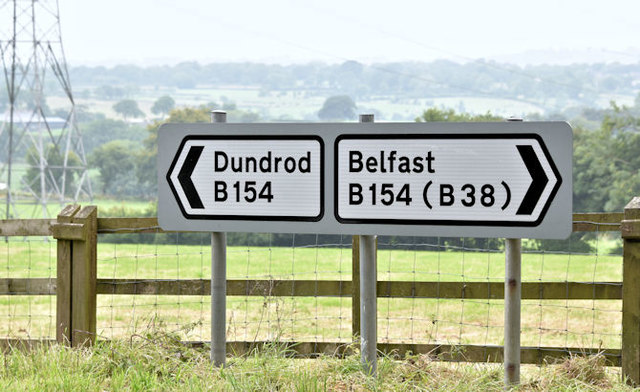
Image: © Albert Bridge Taken: 18 Aug 2016
Direction signs, opposite the Cochranstown Road, on the Quarterlands Road (Quarterland on the Google map) - part of the Ulster Grand Prix course and an alternative back road from Belfast to Nutt’s Corner Image
Images are licensed for reuse under creativecommons.org/licenses/by-sa/2.0
Image Location
Latitude
54.60865
Longitude
-6.111837