Gibson Street, Battle Field
Introduction
The photograph on this page of Gibson Street, Battle Field by John Lucas as part of the Geograph project.
The Geograph project started in 2005 with the aim of publishing, organising and preserving representative images for every square kilometre of Great Britain, Ireland and the Isle of Man.

There are currently over 7.5m images from over 14,400 individuals and you can help contribute to the project by visiting https://www.geograph.org.uk
Gibson Street, Battle Field
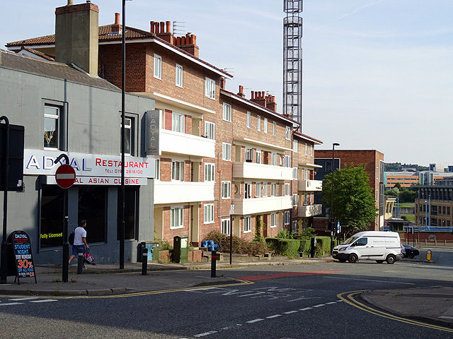
Image: © John Lucas Taken: 15 Aug 2016
The Asian restaurant nearest the camera was once the 'Sun Inn'. The flats beyond are built on the site once occupied by large terraced houses. My 3x great-grandfather, Stephenson Scaife, lived in one of these with his family in the 1830s and 40s, until his death in 1842.
Images are licensed for reuse under creativecommons.org/licenses/by-sa/2.0
Image Location
Latitude
54.972566
Longitude
-1.599275