Marigold Street, Bermondsey
Introduction
The photograph on this page of Marigold Street, Bermondsey by Stephen McKay as part of the Geograph project.
The Geograph project started in 2005 with the aim of publishing, organising and preserving representative images for every square kilometre of Great Britain, Ireland and the Isle of Man.

There are currently over 7.5m images from over 14,400 individuals and you can help contribute to the project by visiting https://www.geograph.org.uk
Marigold Street, Bermondsey
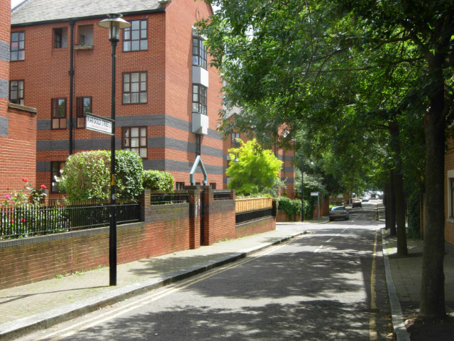
Image: © Stephen McKay Taken: 27 Jul 2007
Quiet, leafy Marigold Street connects Jamaica Road with Bermondsey Wall East on the riverside. The junction ahead is with Pottery Street.
Images are licensed for reuse under creativecommons.org/licenses/by-sa/2.0
Image Location
Latitude
51.500295
Longitude
-0.061364