The Spion Kop End at Meadow Lane
Introduction
The photograph on this page of The Spion Kop End at Meadow Lane by John Sutton as part of the Geograph project.
The Geograph project started in 2005 with the aim of publishing, organising and preserving representative images for every square kilometre of Great Britain, Ireland and the Isle of Man.

There are currently over 7.5m images from over 14,400 individuals and you can help contribute to the project by visiting https://www.geograph.org.uk
The Spion Kop End at Meadow Lane
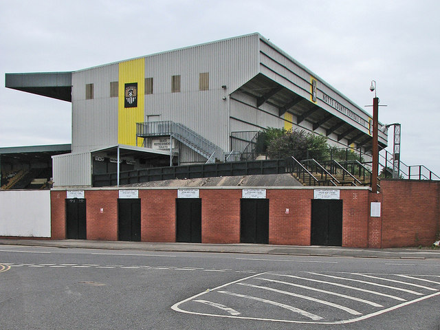
Image: © John Sutton Taken: 14 Aug 2016
In the old days, like kop ends at other grounds, Notts County's Spion Kop End was a steep open terrace. (The name of these terraces derives from a battle in the Boer War, fought on a steep hill near Ladysmith.)
Images are licensed for reuse under creativecommons.org/licenses/by-sa/2.0
Image Location
Latitude
52.943549
Longitude
-1.137745