The Terryhoogan Road near Scarva
Introduction
The photograph on this page of The Terryhoogan Road near Scarva by Albert Bridge as part of the Geograph project.
The Geograph project started in 2005 with the aim of publishing, organising and preserving representative images for every square kilometre of Great Britain, Ireland and the Isle of Man.

There are currently over 7.5m images from over 14,400 individuals and you can help contribute to the project by visiting https://www.geograph.org.uk
The Terryhoogan Road near Scarva
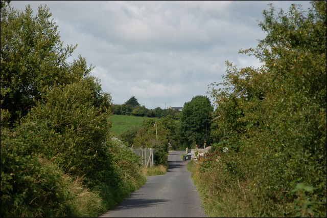
Image: © Albert Bridge Taken: 28 Jul 2007
See Image After passing the locks the Terryhoogan Road runs between the railway and canal before turning west to pass under the railway. This is the road, looking in the direction of Tanderagee, to the west of the railway bridge.
Images are licensed for reuse under creativecommons.org/licenses/by-sa/2.0
Image Location
Latitude
54.347294
Longitude
-6.378374