Railway trackbed, Black Roads
Introduction
The photograph on this page of Railway trackbed, Black Roads by Richard Webb as part of the Geograph project.
The Geograph project started in 2005 with the aim of publishing, organising and preserving representative images for every square kilometre of Great Britain, Ireland and the Isle of Man.

There are currently over 7.5m images from over 14,400 individuals and you can help contribute to the project by visiting https://www.geograph.org.uk
Railway trackbed, Black Roads
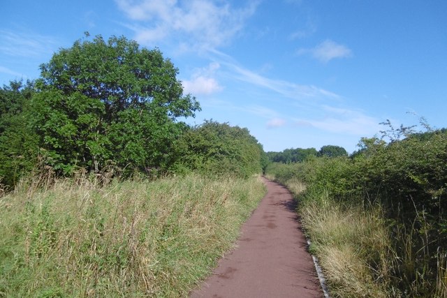
Image: © Richard Webb Taken: 10 Aug 2016
There was once a railway here which served ICI at Billingham. It was probably built in the 1920s and does not feature on the 1920 6" map. The railway is shown as open on a 1979 1:50,000 map. The land here is shown in the 1950s as farmland between Norton and Billingham although there is evidence of industrial use on the ground. It is now home to formal and informal recreational space, woodland and a prison.
Images are licensed for reuse under creativecommons.org/licenses/by-sa/2.0
Image Location
Latitude
54.579309
Longitude
-1.301301