Wandle House
Introduction
The photograph on this page of Wandle House by Ian Capper as part of the Geograph project.
The Geograph project started in 2005 with the aim of publishing, organising and preserving representative images for every square kilometre of Great Britain, Ireland and the Isle of Man.

There are currently over 7.5m images from over 14,400 individuals and you can help contribute to the project by visiting https://www.geograph.org.uk
Wandle House
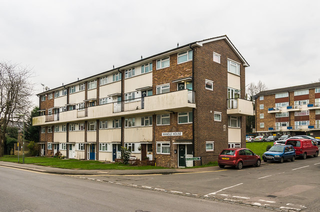
Image: © Ian Capper Taken: 27 Feb 2016
Looking across North Street to Wandle House, part of the mid 1960s Rivers Estate off North Street, with all blocks named after rivers. In the background is part of Windrush House.
Images are licensed for reuse under creativecommons.org/licenses/by-sa/2.0
Image Location
Latitude
51.242607
Longitude
-0.17261