Esholt Junction
Introduction
The photograph on this page of Esholt Junction by Stephen Craven as part of the Geograph project.
The Geograph project started in 2005 with the aim of publishing, organising and preserving representative images for every square kilometre of Great Britain, Ireland and the Isle of Man.

There are currently over 7.5m images from over 14,400 individuals and you can help contribute to the project by visiting https://www.geograph.org.uk
Esholt Junction
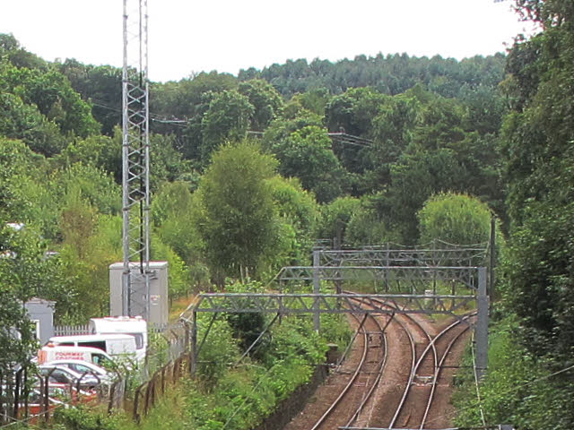
Image: © Stephen Craven Taken: 14 Aug 2016
Looking south from Ghyll Royd footbridge, an enlargement of part of Image showing the single lead junction to the right that heads for Shipley and Bradford; the main line bends left towards Leeds.
Images are licensed for reuse under creativecommons.org/licenses/by-sa/2.0
Image Location
Latitude
53.86567
Longitude
-1.708003