Garlands and Cumwhinton Turning
Introduction
The photograph on this page of Garlands and Cumwhinton Turning by Roger May as part of the Geograph project.
The Geograph project started in 2005 with the aim of publishing, organising and preserving representative images for every square kilometre of Great Britain, Ireland and the Isle of Man.

There are currently over 7.5m images from over 14,400 individuals and you can help contribute to the project by visiting https://www.geograph.org.uk
Garlands and Cumwhinton Turning
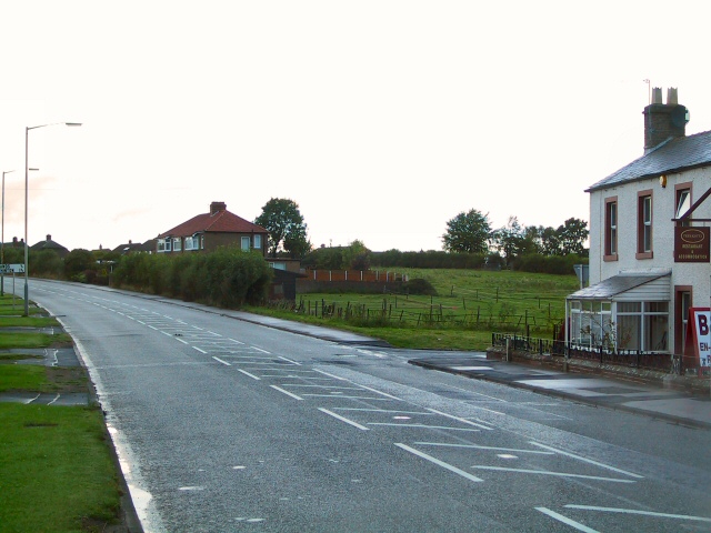
Image: © Roger May Taken: 8 Sep 2005
On the A6 at Carleton, approaching Carlisle. The side road on the right leads to two smaller villages.
Images are licensed for reuse under creativecommons.org/licenses/by-sa/2.0
Image Location
Latitude
54.868833
Longitude
-2.894667