Northallerton - Roundabout at High Street (southern end)
Introduction
The photograph on this page of Northallerton - Roundabout at High Street (southern end) by David Ward as part of the Geograph project.
The Geograph project started in 2005 with the aim of publishing, organising and preserving representative images for every square kilometre of Great Britain, Ireland and the Isle of Man.

There are currently over 7.5m images from over 14,400 individuals and you can help contribute to the project by visiting https://www.geograph.org.uk
Northallerton - Roundabout at High Street (southern end)
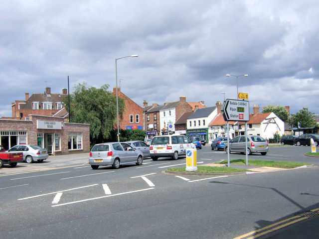
Image: © David Ward Taken: 27 Jul 2007
The roundabout at the end of South Parade with High Street to the left, East Road ahead, and Thirsk Road to the right (out of picture).
Images are licensed for reuse under creativecommons.org/licenses/by-sa/2.0
Image Location
Latitude
54.336812
Longitude
-1.434148